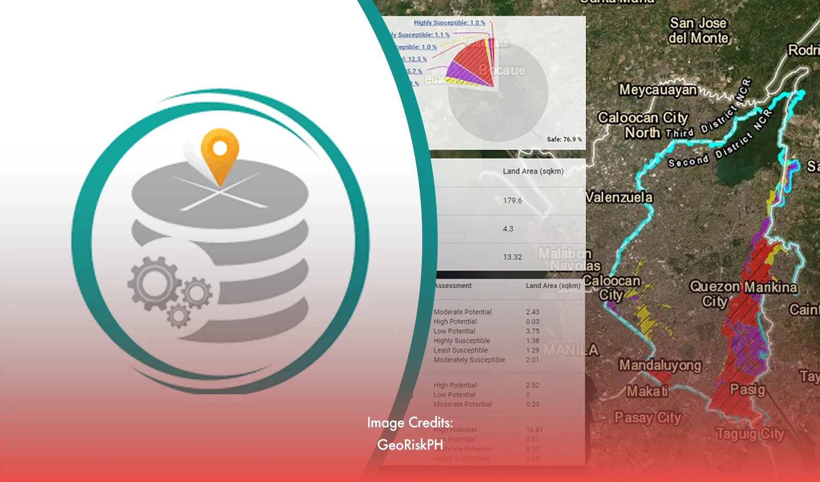
As the Philippines continues to grapple with high risks from natural disasters, the government has introduced upgraded versions of its GeoRiskPH online tools. These new features are designed to enhance both individual and community preparedness by providing vital information on hazards such as fault lines, flooding, and storm paths.
The upgraded GeoRiskPH suite introduces several advanced tools to support effective disaster management:
HazardHunterPH and HazardHunterPro: The original HazardHunterPH provides data on fault lines, earthquakes, and typhoon paths. The newly updated HazardHunterPro remains free but now requires login credentials for additional features, helping users to more thoroughly assess potential hazards.
GeoAnalyticsPH: This tool generates comprehensive maps that detail how vulnerable populations are to flooding and their proximity to critical infrastructure like schools and hospitals. It supports LGUs and decision-makers in swiftly analyzing data to develop effective disaster reduction strategies.
GeoMapperPH: GeoMapperPH allows users to view, create, and update local disaster data. It offers real-time updates and analytics on aspects such as building dimensions and city boundaries, improving local disaster response and planning efforts.
PlanSmart: This automated tool simplifies the creation of rehabilitation and recovery plans. Users enter relevant data, and PlanSmart compiles this information into a downloadable report, streamlining disaster recovery planning.
Confronting Persistent Disaster Risks
The Philippines' susceptibility to natural disasters is highlighted by the 2024 World Risk Report, which ranks the country as the highest risk among 193 nations for extreme natural events and climate change impacts. Despite ongoing mitigation efforts, the country's geographical position continues to make it highly vulnerable to disasters.
Science Secretary Renato Solidum Jr. emphasized the need to use available data and historical trends to formulate effective disaster management strategies. “Disaster prevention is everyone’s responsibility,” Solidum remarked at the launch event for the upgraded tools. The GeoRiskPH initiative, originally launched in 2018 by the Department of Science and Technology (DOST), aims to provide crucial information to both government agencies and the public to better prepare for and respond to disasters.
Encouraging Widespread Adoption
The effectiveness of GeoRiskPH relies on active engagement from local government units (LGUs) and other stakeholders. The initiative currently partners with 20 national government agencies and 52 LGUs. HazardHunterPH has 1.4 million users, while GeoAnalyticsPH serves 66,000 users. The DOST has also conducted training for approximately 700 municipal governments and additional LGUs.
Interior Undersecretary Marlo Iringan encouraged LGUs to adopt these new tools and suggested that their use could be integrated into the Seal of Good Governance as an incentive. By increasing the adoption of GeoRiskPH, the government aims to enhance disaster preparedness and resilience throughout the nation.


