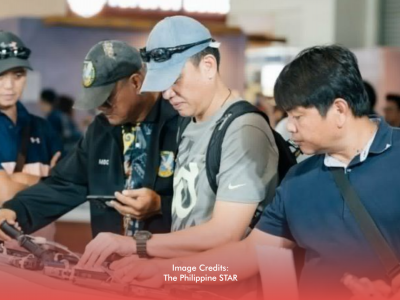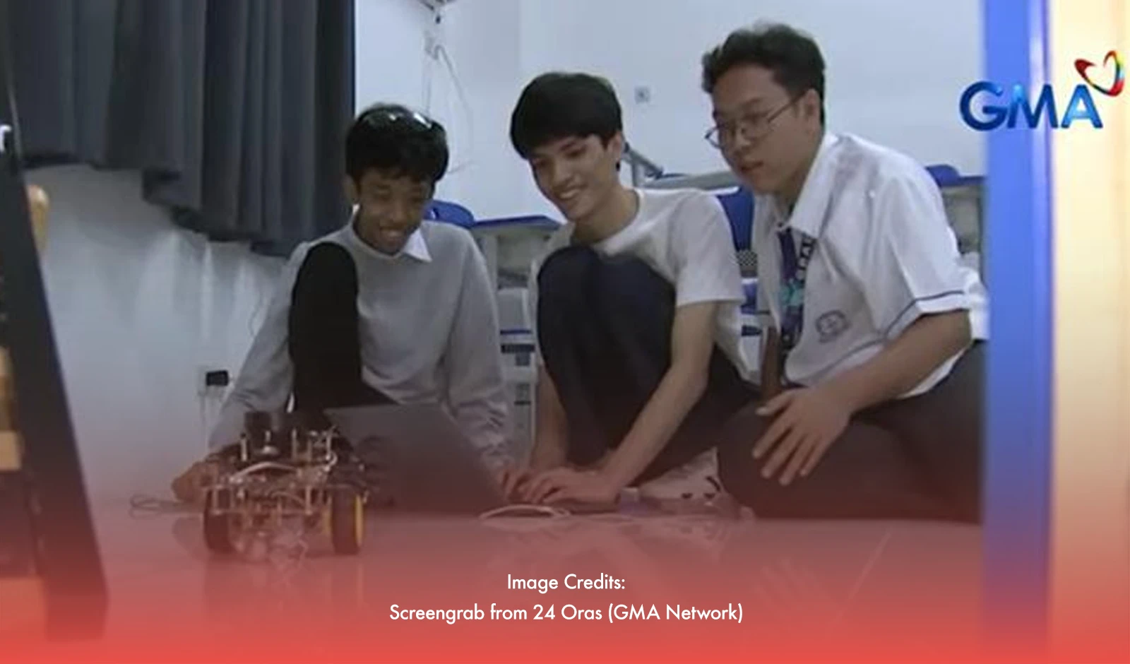
Grade 12 students from Manila Science High School have designed an innovative robot that could help save lives in disaster situations. The Search and Rescue Lidar Integrated and Autonomous Mapping (SLINAM) robot is a fully automated device capable of mapping disaster zones, identifying safe routes, and guiding rescue teams through hazardous areas.
Revolutionizing Search and Rescue Efforts
SLINAM uses lidar technology to detect and map its surroundings, providing real-time data on areas that may be dangerous or obstructed by debris. The robot autonomously navigates and scans the environment, sending the gathered information to a software system that alerts rescuers to passable and impassable areas.
"The goal is to reduce risks for rescuers by providing a clear idea of the terrain before they enter," said Kazuya Mori, one of the developers. “This way, rescuers have an idea of how the area looks and can make safer decisions,” he added.
By mapping disaster zones in real-time, SLINAM helps mitigate the uncertainty and dangers that typically come with search and rescue operations, ensuring that rescuers can focus on saving lives with a clearer understanding of their surroundings.
Enhancing Disaster Preparedness
Beyond its use in immediate rescue efforts, SLINAM could play a crucial role in disaster preparedness. The robot can be deployed before a disaster to map high-risk areas, providing valuable data that can help local authorities plan for potential evacuations or emergency responses.
“We want the robot to assist in both response and prevention,” said Jose Xavier Cruz, another developer. It can give local governments a clearer picture of disaster-prone areas so they can prepare better."
SLINAM's ability to autonomously map and analyze disaster zones offers a proactive approach to disaster mitigation, helping communities reduce the damage caused by natural calamities.
Color-Coding for Quick Decision-Making
Once SLINAM completes its mapping process, it uses a color-coding system to indicate which areas are safe. Passable areas are marked in gray, while impassable zones are shown in black. This simple visual system makes it easier for rescuers to assess the situation at a glance.
SLINAM, which placed third at last year’s regional science and technology fair, is a testament to the innovative spirit of young minds. This promising technology could transform search and rescue operations, ensuring that responders are better equipped to handle disaster situations.